Tel Beth Shean
Map of Tel Beth Shean (Fitzgerald 1931)
Although Beth Shean’s Byzantine period is the primary focus of this particular exhibition, the University of Pennsylvania excavations on the Tel traced the history of the site back to the Early Bronze Age. Long before Roman and Byzantine urbanism, the settlement was an urban administrative site under the control of the Egyptian Pharaohs. Its name also appears occasionally in the Hebrew Bible, most notably as the site where the Philistines display the body of King Saul (1 Sam. 31). These Egyptian and biblical pasts evoked great interest from both archaeologists and the general American public, and the material uncovered in excavations on the Tel was even discussed as verification of the reliability of the Bible as historical narrative. Although not uncontroversial at the time, this approach fostered widespread enthusiasm for the Penn Museum expedition as a means of uncovering some origin point of civilization. As Clarence Fisher optimistically told the New York Times in 1923, “Layer by layer we shall trace each civilization. The hill where we have been digging occupies a peculiar position; it overlooks the whole surrounding country, and from earliest times was used as a habitation and a stronghold. Conqueror after conqueror planted his armies there…There is no other place that I know of where so many peoples, so many civilizations, passed at one time or another as passed through this Palestine gateway” (“Rare Finds in Holy Land,” New York Times December 16, 1923).
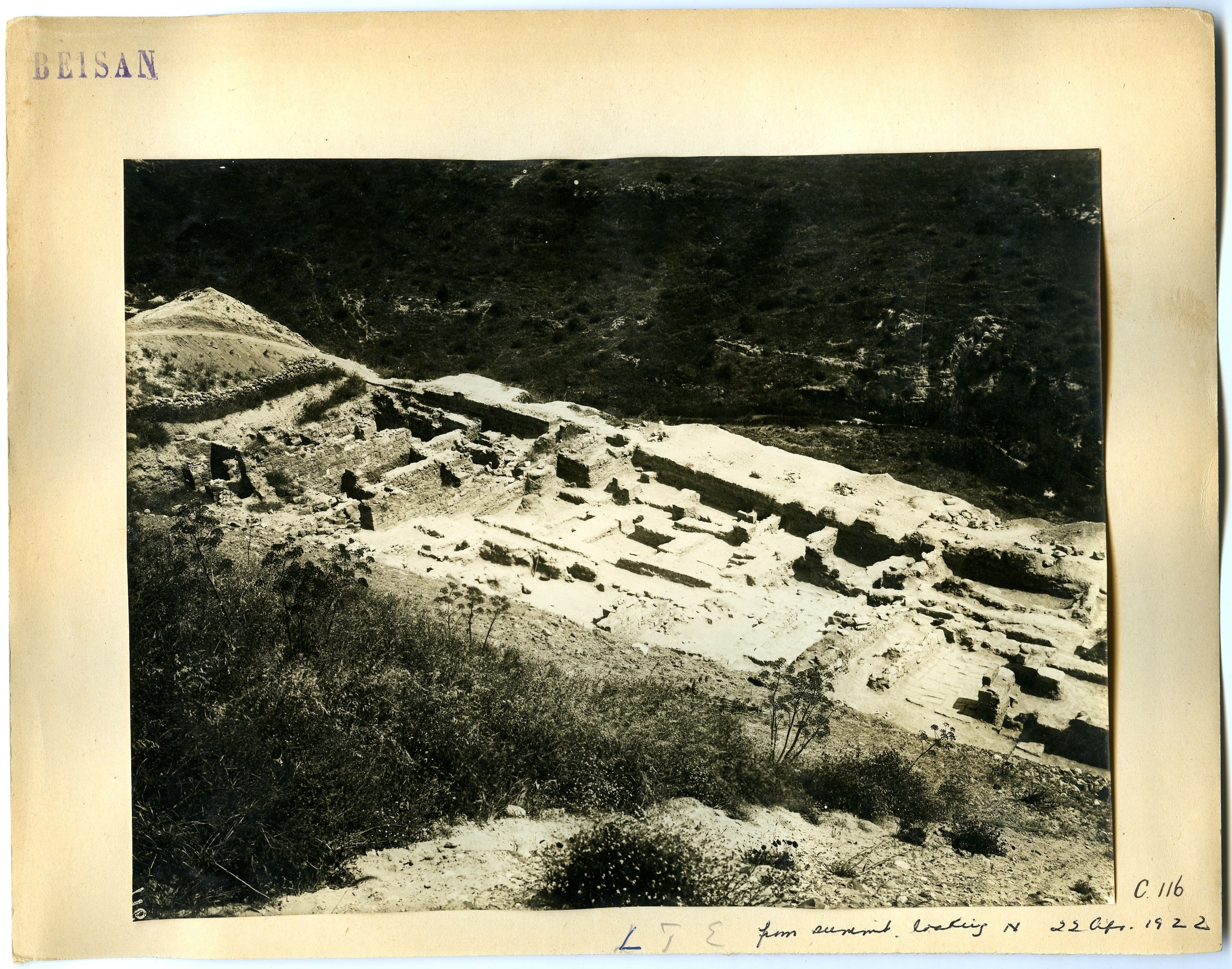
During the first season of the Penn Museum excavations, archaeologists began clearing the upper levels of settlement from the Tel, uncovering artifacts and structures testifying to the long history of Beth Shean. Level I was subdivided into “Later Arab” and “Early Arab,” which recent excavations place more firmly in the Crusader/Ayyubid (twelfth century) and Umayyad/Abbasid periods (seventh-tenth century) respectively (Mazar 2006: 42-46). In the later phase of medieval construction, the Tel was surrounded by a fortification wall that highlights its role as an elevated point from which the surrounding countryside could be monitored and defended (and to which residents could retreat in times of trouble).
Structure from Medieval strata on Tel (UPM Archives)
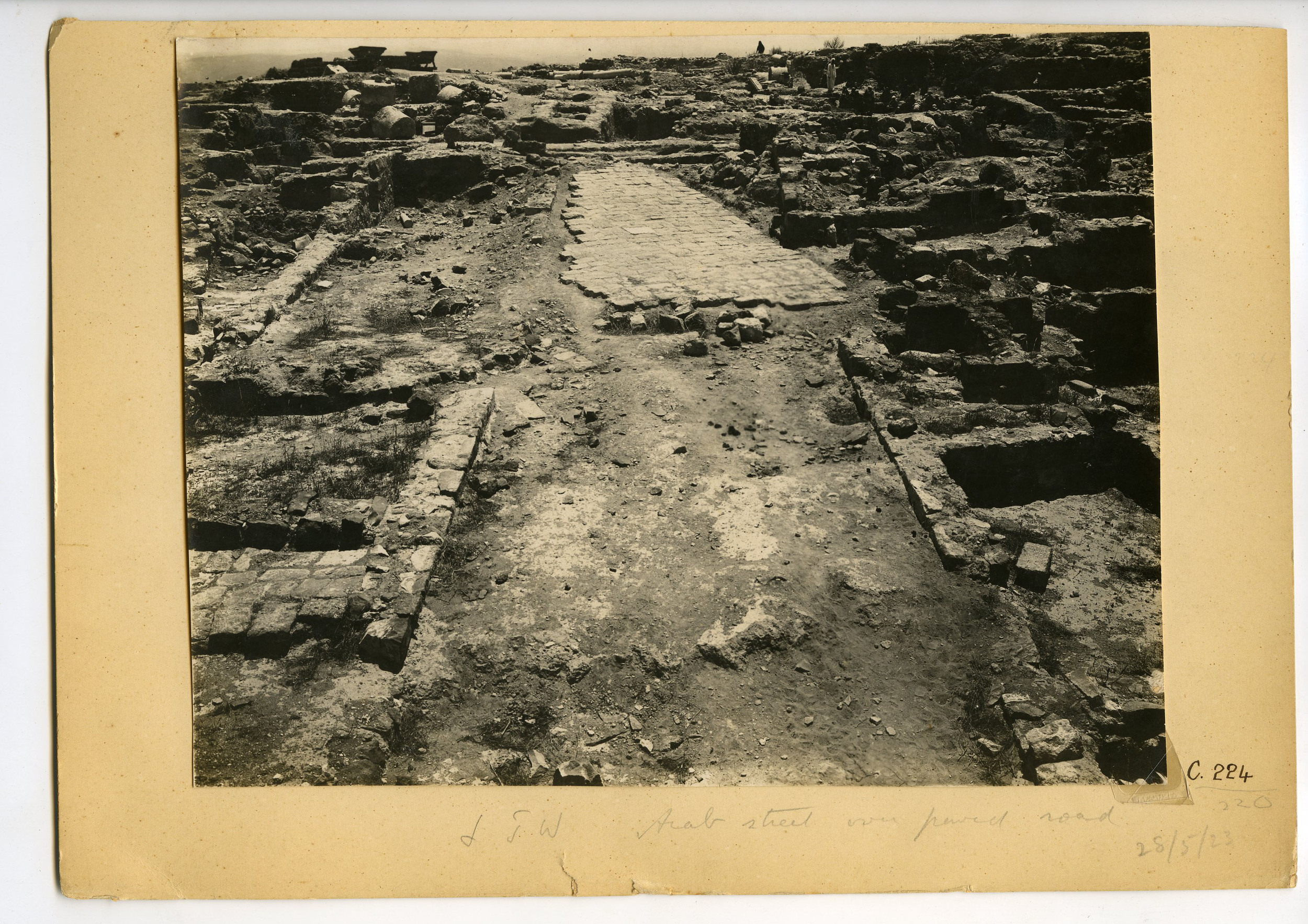
Although it is difficult to determine the exact dating of the earlier Islamic neighborhood of the site or the motivations for its construction, at some point following the establishment of Islamic rule in 636 CE the surface of the Tel was almost completely covered by residences arranged along a gridded street pattern that ignored previous occupancy patterns on the site. These homes frequently incorporated Byzantine architectural material into their walls and occasionally preserved mosaic floors from the earlier period as part of the new structures, but the topographic realignment cut through the walls and foundations of earlier buildings, including the domestic spaces on the Terrace and the Round Church.
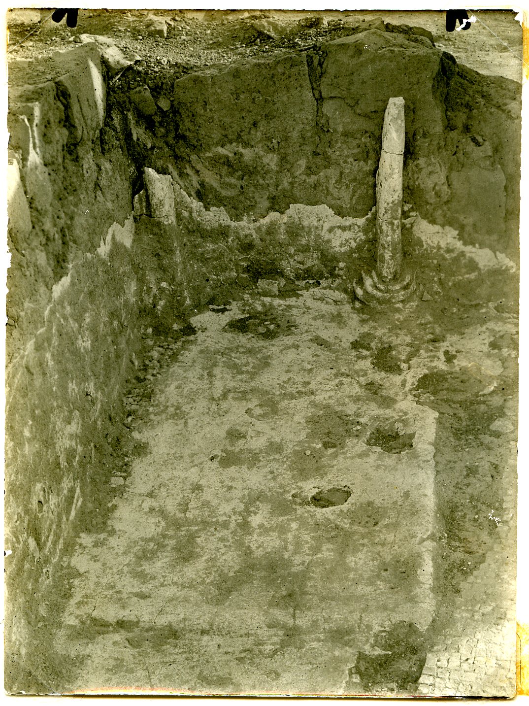
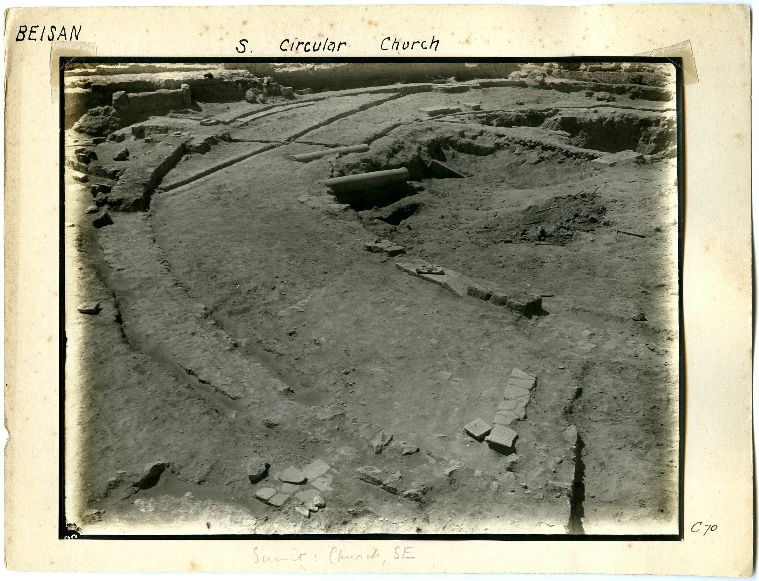
Level II roughly corresponds with fourth to seventh-century activity. During this time the urban area and population increased dramatically, and the Round Church was constructed on the site of the ruined Roman Temple of Zeus Akraios. Excavations also revealed what appears to be an elite residential quarter on the terrace level of the Tel, in which a variety of mosaic floors, bronze objects, lamps, coins, and other goods were found. Standing over the bustling city center, the Byzantine Tel of Beth Shean with its large church and terrace homes would have been an impressive presence on the horizon.